Maxim Street
From Pittsburgh Streets
(Redirected from Maple Street (Maxim Street))
| Maxim Street | |
|---|---|
| Neighborhood | Spring Hill-City View |
| Fate | Probably never built |
| Maple Street (until 1912) | |
| Origin of name | Maple tree |
This former street ran roughly east–west in the area to the north of the modern Spring Hill Playground.[1][2][3]
It was laid out as Maple Street in 1891; most of the streets in this plan were named for trees.[4][5][6][7]
After Allegheny City was annexed by Pittsburgh in 1907,[8] this name conflicted with other streets named Maple, including Maple Terrace in Mount Washington and nearby Maple Avenue (today Marathon Street). To fix this duplication, a 1912 Pittsburgh ordinance renamed the street Maxim Street.[9]
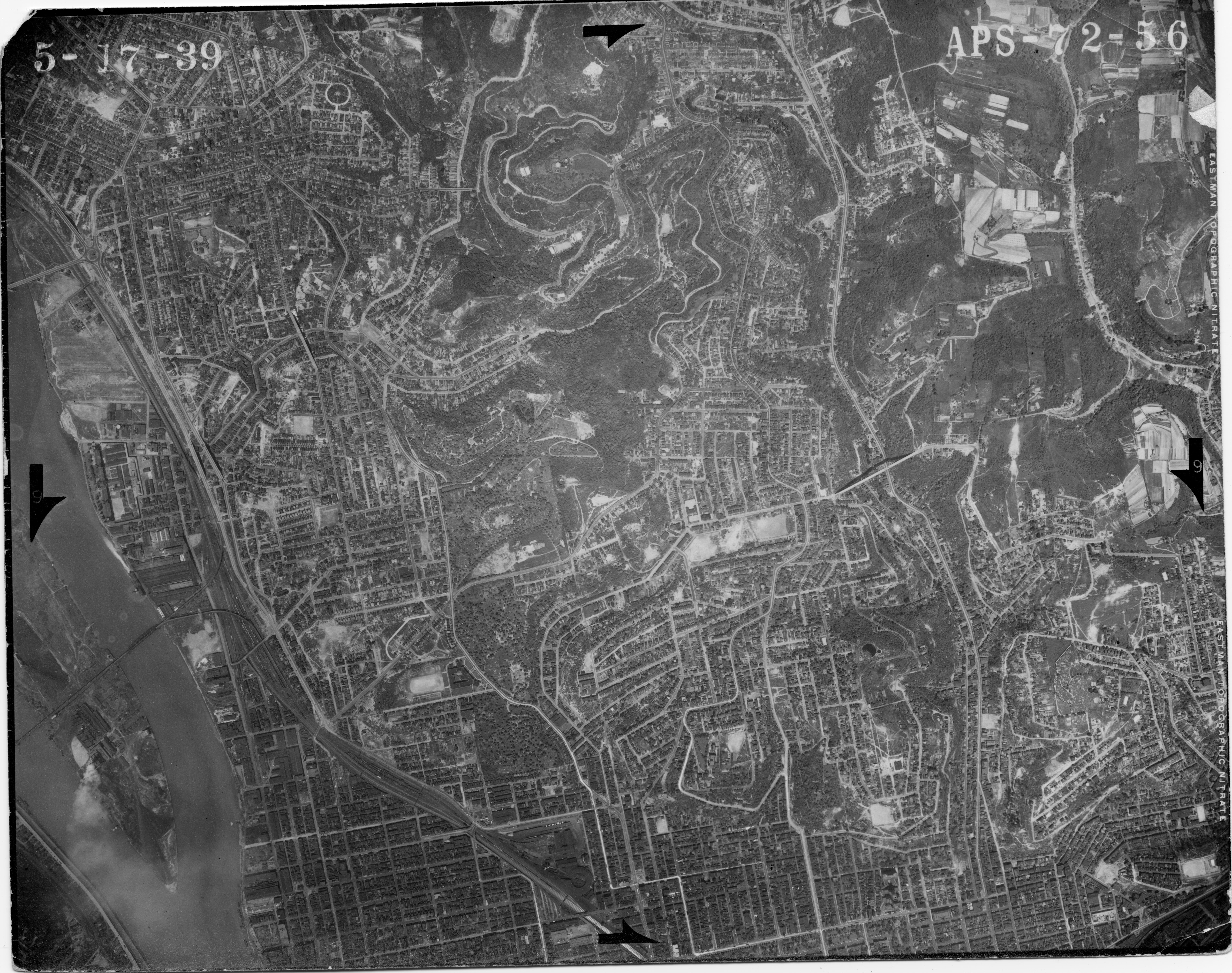
Maxim Street was probably never actually built. It does not appear in a 1939 aerial photo,[10] and it makes no appearance in the Municipal Record after the 1912 ordinance that named it.
See also
- Maple Street, for other streets that have had that name
References
- ↑ Real Estate Plat-Book of the City of Pittsburgh, vol. 4, plate 25. G. M. Hopkins & Co., Philadelphia, 1925. http://historicpittsburgh.org/maps-hopkins/1925-volume-4-plat-book-pittsburgh; included in the 1923 layer at PGH Historic Maps and Imagery (https://pittsburghpa.maps.arcgis.com/apps/instant/basic/index.html?appid=25ed595c7bde40cdae7165261a9a3ad6). [view source] hopkins-1925-4
- ↑ Real Estate Plat-Book of the City of Pittsburgh, vol. 4, plate 25. G. M. Hopkins & Co., Philadelphia, 1925, revised 1939. https://historicpittsburgh.org/maps-hopkins/1925-volume-4-revised-1939-plat-book-pittsburgh. [view source] hopkins-1939-4
- ↑ Alexander Gross. Pittsburgh and Vicinity: Featuring transit lines and house numbers. Geographia Map Co. Inc., New York, 1953. Published with Alexander Gross, The Complete Street Guide to Pittsburgh and 16 Nearby Suburbs: With large map of Pittsburgh and suburbs; streets, house numbers, transportation lines, places of interest, churches, etc., etc., Geographia Map Co. Inc., New York, 1953 (DonsList.net PghStreets1953M). A slightly different version entitled The Premier Map of Pittsburgh and Vicinity is reproduced in Sam Stephenson, ed., Dream Street: W. Eugene Smith's Pittsburgh Project, pp. 22–23, University of Chicago Press, Chicago and London, 2023, ISBN 978-0-226-82483-3 (LCCN 2022055151). [view source] gross-map
- ↑ "Plan of the Jenny heirs: Subdivision of the est. of George Hetzel Sr. situate in Reserve Twp, Allegheny Co., Pa." Laid out Nov. 1891; recorded May 11, 1893, Plan Book 13, pp. 188–189. Allegheny County Recorder of Deeds 3780925. [view source] jenny-heirs-plan
- ↑ Real Estate Plat-Book of the Northern Vicinity of Pittsburgh, plate 17. G. M. Hopkins & Co., Philadelphia, 1897. http://historicpittsburgh.org/maps-hopkins/1897-plat-book-northern-pittsburgh. [view source] hopkins-1897
- ↑ Real Estate Plat-Book of the City of Allegheny, vol. 2, plate 11. G. M. Hopkins & Co., Philadelphia, 1902. http://historicpittsburgh.org/maps-hopkins/1902-volume-2-plat-book-allegheny; included in the 1903–1906 layer at PGH Historic Maps and Imagery (https://pittsburghpa.maps.arcgis.com/apps/instant/basic/index.html?appid=25ed595c7bde40cdae7165261a9a3ad6). [view source] hopkins-1902-allegheny-2
- ↑ Atlas of Greater Pittsburgh, plate 42B. G. M. Hopkins & Co., Philadelphia, 1910. http://historicpittsburgh.org/maps-hopkins/1910-atlas-greater-pittsburgh; 1910 layer at PGH Historic Maps and Imagery (https://pittsburghpa.maps.arcgis.com/apps/instant/basic/index.html?appid=25ed595c7bde40cdae7165261a9a3ad6). [view source] hopkins-1910
- ↑ Mark A. Connelly. "Allegheny City–Pittsburgh City 1907 Consolidation." Local Geohistory Project. https://www.localgeohistory.pro/en/pa/event/allegheny-city-pittsburgh-city-1907-consolidation/. [view source] lgeo-allegheny-annexation
- ↑ "An ordinance changing the names of certain avenues, streets, alleys and ways in the City of Pittsburgh." Pittsburgh city ordinance, 1912, no. 318. Passed May 28, 1912; approved May 31, 1912. Ordinance Book 24, p. 209. In Municipal Record: Minutes of the Proceedings of the Council of the City of Pittsburgh for the Year 1912, appendix, pp. 182–184, Gill Press, Pittsburgh, 1912 (Google Books 3DQwAQAAMAAJ, H8JEAQAAMAAJ; HathiTrust chi.096598685, uiug.30112108223873; Internet Archive Pghmunicipalrecord1912; https://pittsburgharchives.access.preservica.com/uncategorized/IO_9755c542-596b-4dd3-89c2-b691bffc23ec/; https://pittsburgharchives.access.preservica.com/uncategorized/IO_e4ba8c62-b926-4a0b-9551-625e11621a8b/). Reprinted in the Pittsburgh Post, June 5, 1912, p. 11 (Newspapers.com 86425226), and June 6, p. 5 (Newspapers.com 86425276). [view source] ordinance-1912-318
- ↑ Aerial photograph APS-72-56. USDA Agricultural Adjustment Administration Northeast Division, 1939. https://www.pasda.psu.edu/pennpilot/era1940/allegheny_1938/allegheny_1938_photos_jpg_800/allegheny_051739_aps7256.jpg; https://www.pasda.psu.edu/pennpilot/era1940/allegheny_1938/allegheny_1938_photos_tif/allegheny_051739_aps7256.tif; included in the 1939 layer at PGH Historic Maps and Imagery (https://pittsburghpa.maps.arcgis.com/apps/instant/basic/index.html?appid=25ed595c7bde40cdae7165261a9a3ad6). [view source] north-side-north-aerial-1939
