File:John T. Davis plan.tiff
From Pittsburgh Streets

Size of this JPG preview of this TIF file: 506 × 600 pixels. Other resolution: 1,728 × 2,048 pixels.
Original file (7,334 × 8,692 pixels, file size: 121 KB, MIME type: image/tiff)
Summary
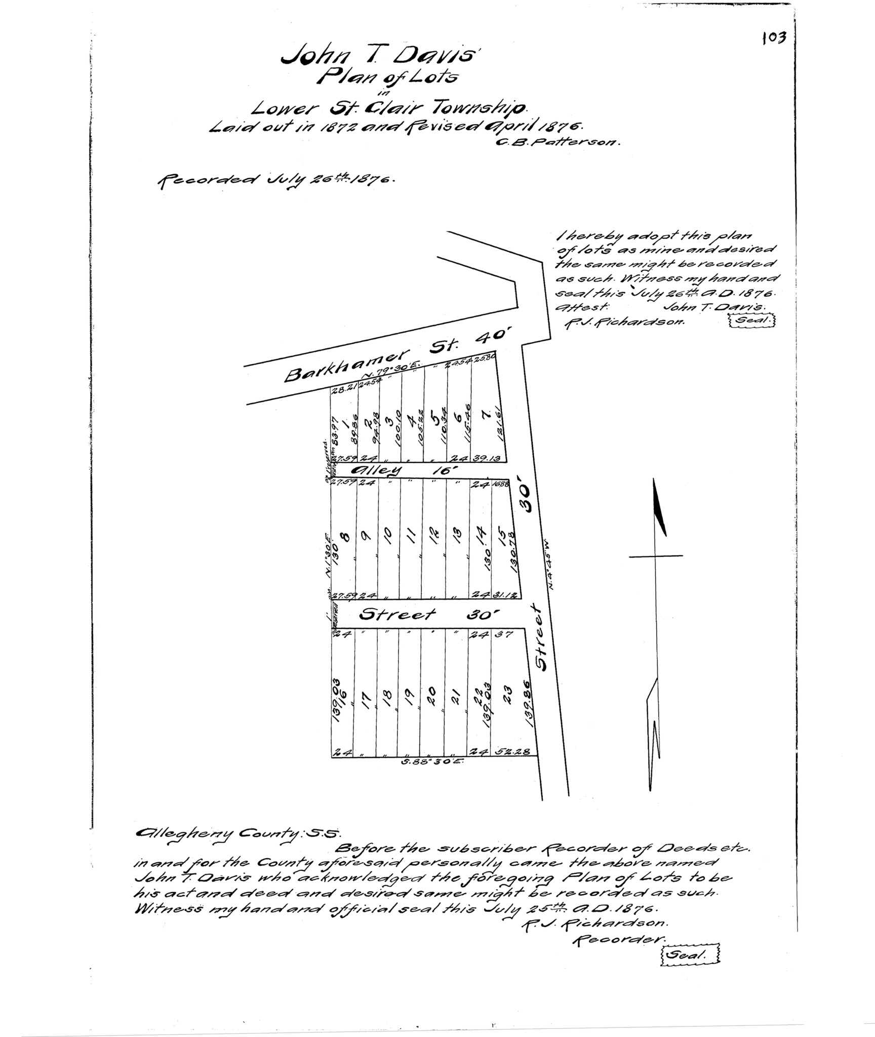
"John T. Davis' plan of lots in Lower St. Clair Township." Laid out 1872 and Apr. 1876; recorded July 26, 1876, Plan Book 6, p. 103. Allegheny County Recorder of Deeds 3779352. [view source] john-t-davis-plan
File history
Click on a date/time to view the file as it appeared at that time.
| Date/Time | Thumbnail | Dimensions | User | Comment | |
|---|---|---|---|---|---|
| current | 05:12, 15 March 2025 |  | 7,334 × 8,692 (121 KB) | Bkell (talk | contribs) | {{Source:John-t-davis-plan}} |
You cannot overwrite this file.
File usage
The following 2 pages use this file:
