File:John M. Woshner plan.tiff
From Pittsburgh Streets

Size of this JPG preview of this TIF file: 440 × 599 pixels. Other resolution: 1,503 × 2,048 pixels.
Original file (6,900 × 9,400 pixels, file size: 200 KB, MIME type: image/tiff)
Summary
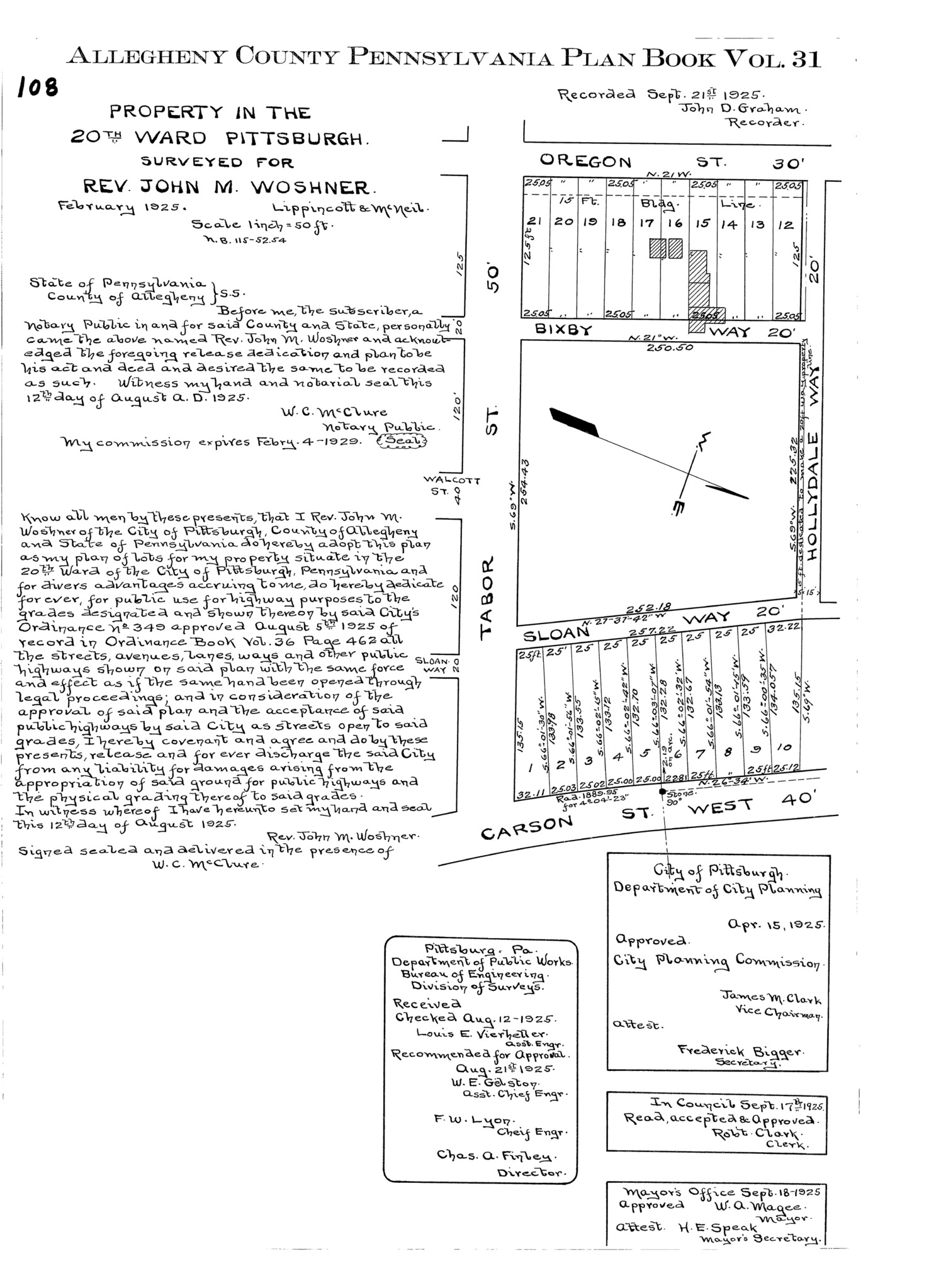
"Property in the 20th Ward Pittsburgh: Surveyed for Rev. John M. Woshner." Laid out Feb. 1925; recorded Sept. 21, 1925, Plan Book 31, p. 108. Allegheny County Recorder of Deeds 3783760. [view source] john-m-woshner-plan
File history
Click on a date/time to view the file as it appeared at that time.
| Date/Time | Thumbnail | Dimensions | User | Comment | |
|---|---|---|---|---|---|
| current | 06:22, 14 December 2025 |  | 6,900 × 9,400 (200 KB) | Bkell (talk | contribs) | {{Source:John-m-woshner-plan}} |
You cannot overwrite this file.
File usage
The following 2 pages use this file:
