File:Arlington Heights plan.tiff
From Pittsburgh Streets

Size of this JPG preview of this TIF file: 440 × 599 pixels. Other resolution: 1,503 × 2,048 pixels.

Original file (6,900 × 9,400 pixels, file size: 1.05 MB, MIME type: image/tiff, 7 pages)
Summary
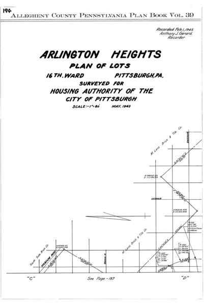
"Arlington Heights plan of lots: 16th Ward, Pittsburgh, Pa.: Surveyed for Housing Authority of the City of Pittsburgh." Laid out May 1943; recorded Feb. 1, 1945, Plan Book 39, pp. 194–200. Allegheny County Recorder of Deeds 3784649. [view source] arlington-heights-plan
File history
Click on a date/time to view the file as it appeared at that time.
| Date/Time | Thumbnail | Dimensions | User | Comment | |
|---|---|---|---|---|---|
| current | 19:17, 7 February 2026 |  | 6,900 × 9,400, 7 pages (1.05 MB) | Bkell (talk | contribs) | {{Source:Arlington-heights-plan}} |
You cannot overwrite this file.
File usage
The following 2 pages use this file:
