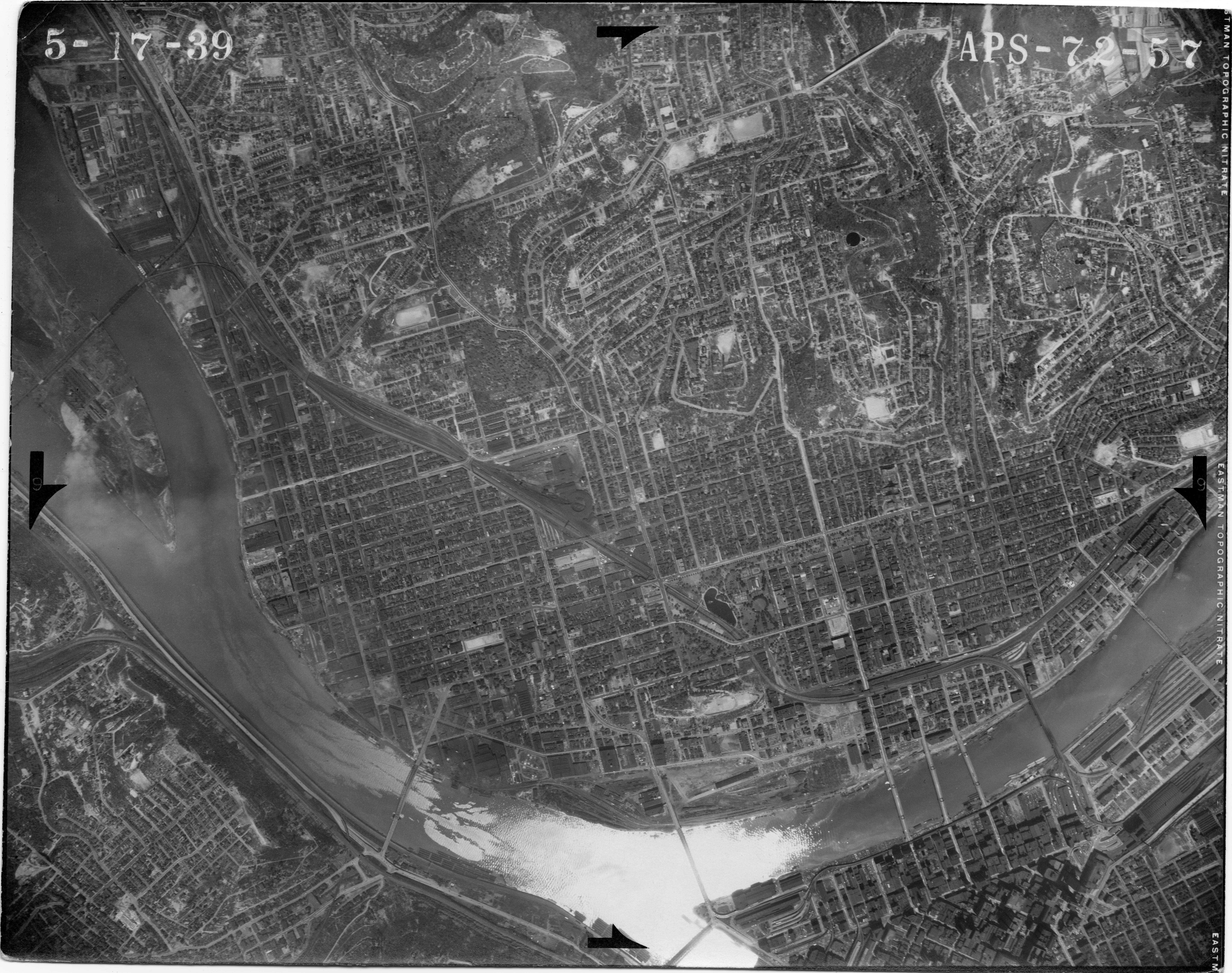
File:Aerial photograph APS-72-57, 1939.jpg
From Pittsburgh Streets

Size of this preview: 759 × 599 pixels. Other resolutions: 2,560 × 2,021 pixels | 7,535 × 5,949 pixels.
Original file (7,535 × 5,949 pixels, file size: 5.55 MB, MIME type: image/jpeg)
Summary
Aerial photograph APS-72-57. USDA Agricultural Adjustment Administration Northeast Division, 1939. https://www.pasda.psu.edu/pennpilot/era1940/allegheny_1938/allegheny_1938_photos_jpg_800/allegheny_051739_aps7257.jpg; https://www.pasda.psu.edu/pennpilot/era1940/allegheny_1938/allegheny_1938_photos_tif/allegheny_051739_aps7257.tif; included in the 1939 layer at Pittsburgh Historic Maps (https://esriurl.com/pittsburgh). [view source] north-side-aerial-1939
File history
Click on a date/time to view the file as it appeared at that time.
| Date/Time | Thumbnail | Dimensions | User | Comment | |
|---|---|---|---|---|---|
| current | 22:55, 4 February 2023 | | 7,535 × 5,949 (5.55 MB) | Bkell (talk | contribs) | {{Source:Allegheny-aerial-1939}} |
You cannot overwrite this file.
File usage
The following 2 pages use this file:
