Lyceum Street
From Pittsburgh Streets
| Lyceum Street | |
|---|---|
| Neighborhood | Fineview |
| Fate | Probably never built |
| Lyon Terrace (until 1910) | |
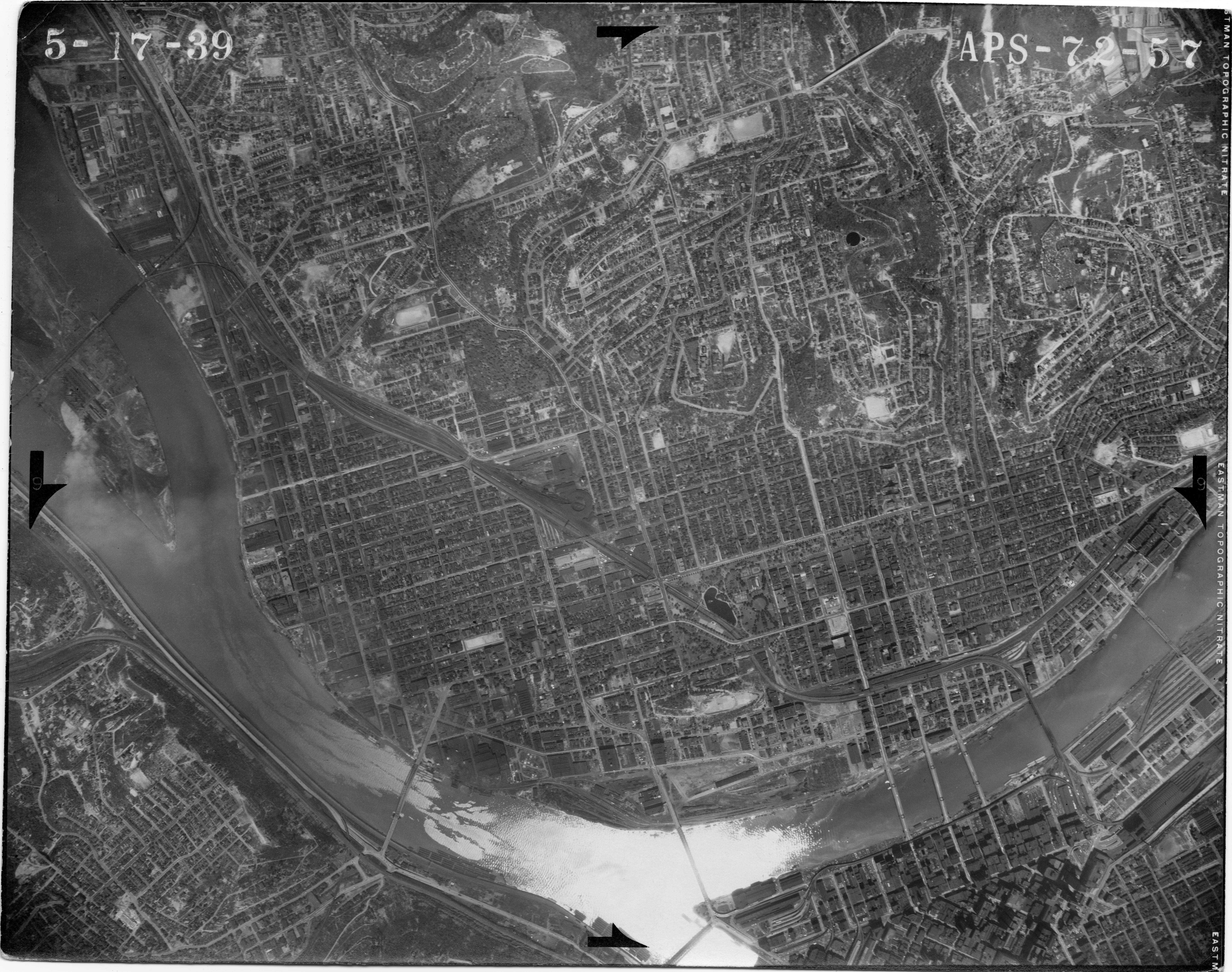
This street, running parallel to and south of Maple Street (today Glenrose Street), appears as Lyon Terrace in the 1901 and 1902 Hopkins atlases, laid out as part of Joseph and Samuel McNaugher's plan of lots.[1][2] In 1910, three years after Pittsburgh annexed Allegheny City, over 900 streets were renamed in order to fix duplicates, and Lyon Terrace became Lyceum Street.[3] It is doubtful that this street was ever actually built; it does not appear in a 1939 aerial photo.[4]
Bob Regan includes "Lyceum" in his "Streets of Pittsburgh" crossword puzzle; the clue reads, "The Athenian gardens where Aristotle founded his philosophical school. Today often used to denote a public hall for lectures and concerts."[5]
References
- ↑ Real Estate Plat-Book of the City of Allegheny, vol. 1, plate 16. G. M. Hopkins & Co., Philadelphia, 1901. http://historicpittsburgh.org/maps-hopkins/1901-volume-1--plat-book-allegheny. [view source] hopkins-1901-allegheny-vol-1
- ↑ Real Estate Plat-Book of the City of Allegheny, vol. 2, plate 4. G. M. Hopkins & Co., Philadelphia, 1902. http://historicpittsburgh.org/maps-hopkins/1902-volume-2-plat-book-allegheny; included in the 1903–1906 layer at Pittsburgh Historic Maps (https://esriurl.com/pittsburgh). [view source] hopkins-1902-allegheny-vol-2
- ↑ "An ordinance changing the names of certain avenues, streets, lanes and alleys in the City of Pittsburgh." Pittsburgh city ordinance, 1910, no. 715. Passed Mar. 31, 1910; approved Apr. 5, 1910. Ordinance Book 21, p. 342. In Municipal Record: Minutes of the proceedings of the [Select and Common Councils] of the City of Pittsburgh for the years 1909–1910, appendix, pp. 312–328, Devine & Co., Pittsburgh, 1910 (Google Books doQzAQAAMAAJ; HathiTrust uiug.30112108223832; Internet Archive Pghmunicipalrecord1909). Reprinted in the Pittsburgh Post, Apr. 19, 1910, pp. 10–11 (Newspapers.com 86611990, 86612022), Apr. 20, pp. 10–11 (Newspapers.com 86612278, 86612297), and Apr. 21, pp. 10–11 (Newspapers.com 86612601, 86612625). [view source] ordinance-1910-715
- ↑ Aerial photograph APS-72-57. USDA Agricultural Adjustment Administration Northeast Division, 1939. https://www.pasda.psu.edu/pennpilot/era1940/allegheny_1938/allegheny_1938_photos_jpg_800/allegheny_051739_aps7257.jpg; https://www.pasda.psu.edu/pennpilot/era1940/allegheny_1938/allegheny_1938_photos_tif/allegheny_051739_aps7257.tif; included in the 1939 layer at Pittsburgh Historic Maps (https://esriurl.com/pittsburgh). [view source] north-side-aerial-1939
- ↑ Bob Regan. The Names of Pittsburgh: How the city, neighborhoods, streets, parks and more got their names, pp. 183–186. The Local History Company, Pittsburgh, 2009, ISBN 978-0-9770429-7-5. [view source] regan